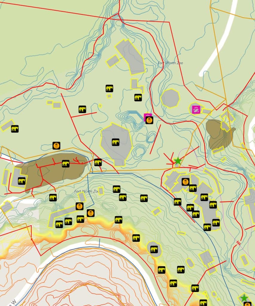
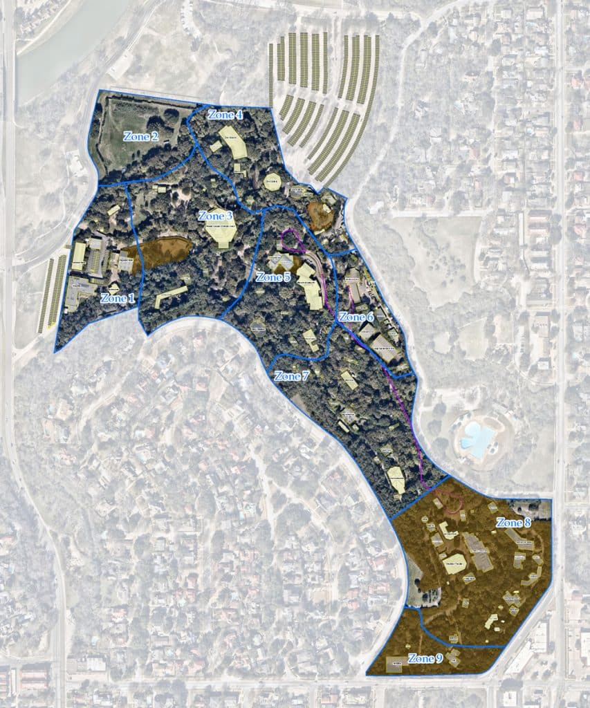
Dunaway was engaged by the Fort Worth Zoo to develop a comprehensive, up-to-date GIS-based map of the entire zoo property—its first in over a decade. This new mapping effort will provide critical data for analyzing land use and assessing flood risk, enabling more effective stormwater management and supporting ongoing operations and maintenance across the site.
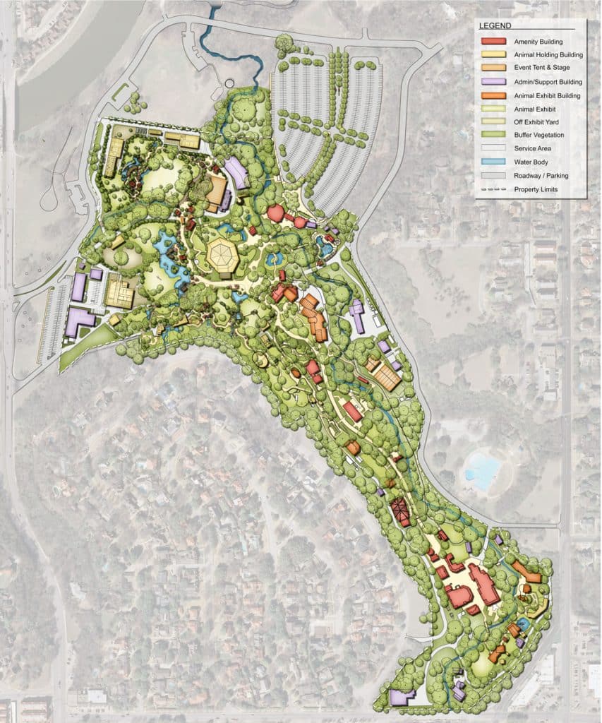
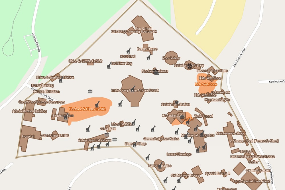
A key benefit of this project is its ability to improve both internal planning and the visitor experience. With accurate delineation of animal exhibits, infrastructure, and natural features, the zoo will be able to produce detailed, user-friendly visitor guides and maps.
As part of the project, Dunaway conducted a topographic survey of previously undocumented areas of the zoo. By integrating this new data with existing survey information, Dunaway is developing a unified, high-resolution topographic base map to support the zoo’s long-term planning and facility management initiatives.