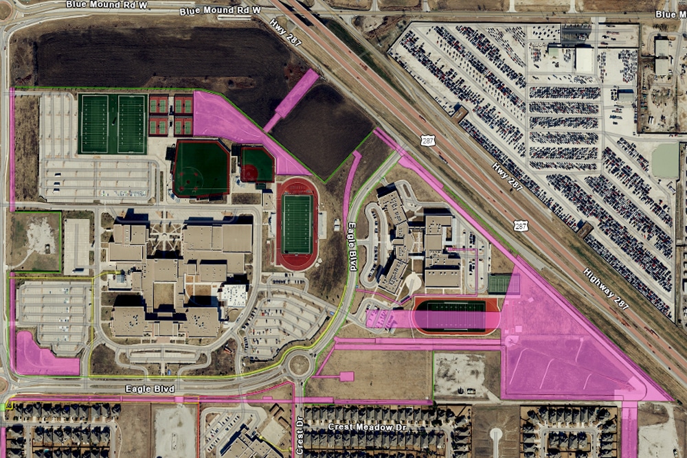
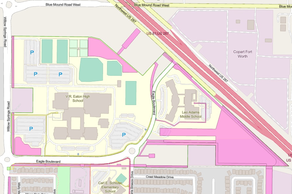
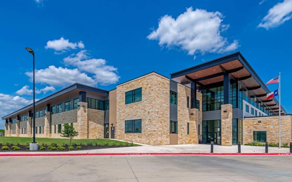
Dunaway is working with Northwest Independent School District (NISD) to create GIS maps and applications to service their growing district. The team started by mapping all NISD-owned properties and overlaying that data with layers such as city limits, proposed residential developments, attendance zones, surrounding ISD boundaries, and more. From this point, Dunaway coordinated with NISD to digitize all property easements. Using ArcGIS Online, staff have quick access to the data from any computer or handheld device that has an internet or cellular network connection.
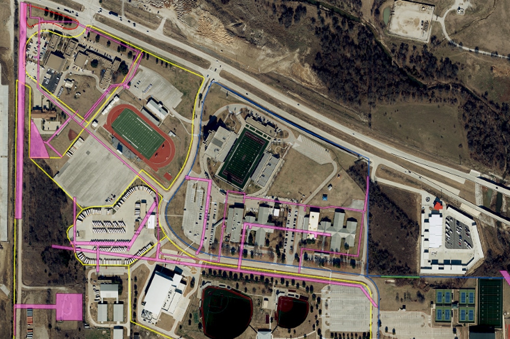
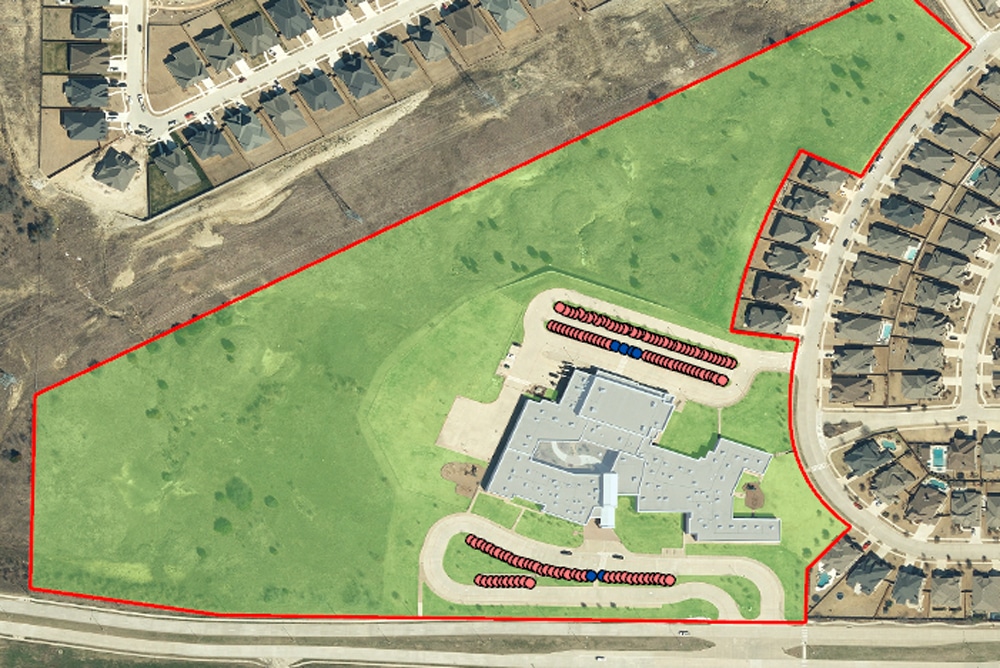
Once the property basemap was established, Dunaway moved into Phase 2 and began mapping the various features at each school location, including building outlines, parking lots, and lawn areas. A dashboard was also created to allow for quick reference to square footage and acreage of all these features.
-
Location:Justin, Texas
-
Client:Northwest ISD
-
Services:GIS