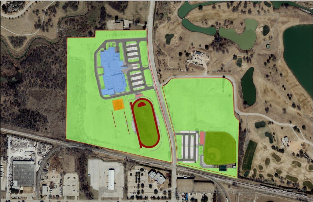
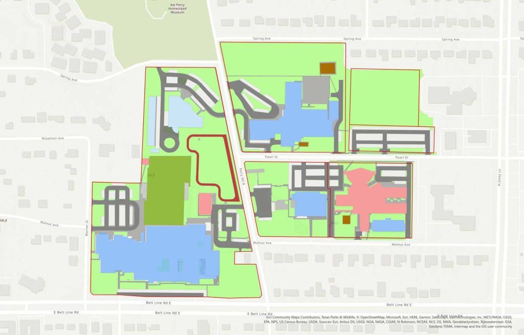
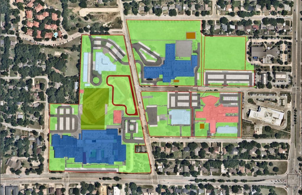
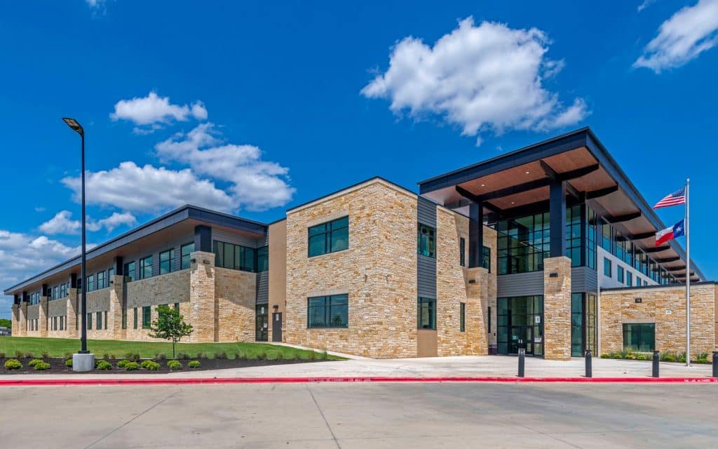
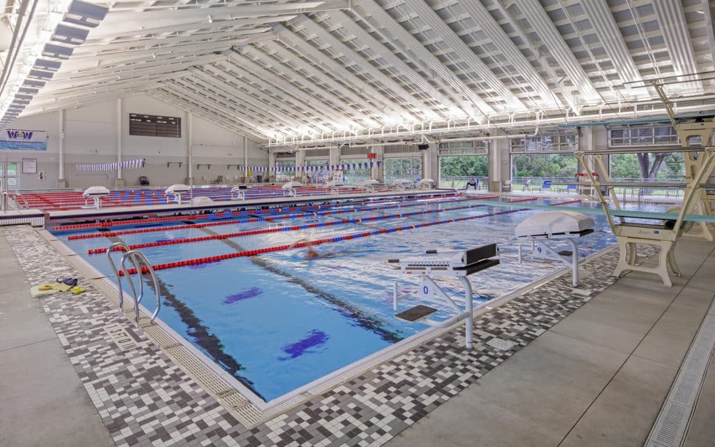
Dunaway is working closely with Carrollton-Farmers Branch ISD (CFBISD) to create GIS maps and applications for their district. The team started by mapping all CFBISD-owned properties and overlaying that data with layers such as city limits, proposed residential developments, attendance zones, surrounding ISD boundaries, and more. The next steps included categorizing the various components of each campus and mapping them individually. Items such as pavement, driving aisles, parking lots, lawns, athletic facilities, and playgrounds, were mapped for every campus across the district. A dashboard was also created to allow for quick reference to square footage and acreage of all these features.
-
Location:Carrollton, Texas
-
Client:Carrollton-Farmers Branch ISD
-
Services:GIS