Survey
Outstanding Quality. Consistently.
Data you can rely on
Founded in 1956, Dunaway’s history and technical excellence give us an advantage in providing fast and accurate survey services. Dunaway has experience surveying several hundreds of miles of TxDOT, county, and municipal roadway right-of-ways throughout the state of Texas. Dunaway prepares error-free survey deliverables with a priority on service and accountability to deliver outstanding quality.
Whether it is the performance of a closed digital differential level loop to verify and establish elevations for primary control set by GPS, using fixed height rods, reinitializing after a GPS observation, and observing a second time, running acceptably closed and adjusted traverses, or the independent review of survey deliverables – Dunaway is committed to producing quality surveys promptly based on measurements that are redundant and repeatable.
Land Surveying Capabilities
- Boundary Survey
- Construction Staking
- Deed Research
- Right-of-Way Surveys
- Topographic Surveys
- Platting
- Certified Drone Pilots
- Drone LiDAR
- Photogrammetry
- Utility + Infrastructure Services
- Energy Services
- Drone Imagery
- Terrestrial Lidar Scanning
Featured Survey Projects
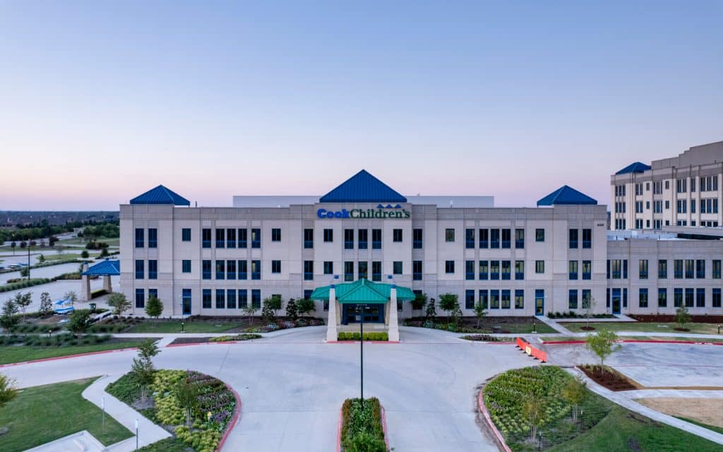
CCMC – Prosper Campus
Prosper, Texas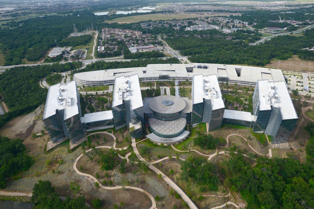
American Airlines Robert L. Crandall Campus
Fort Worth, Texas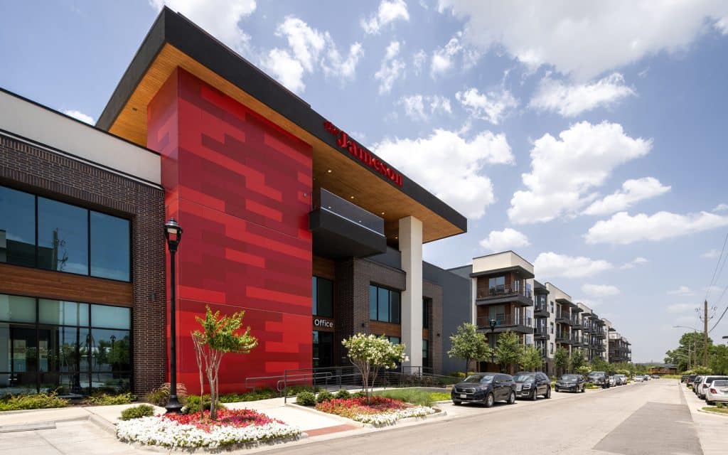
The Jameson at the Bluffs
Fort Worth, Texas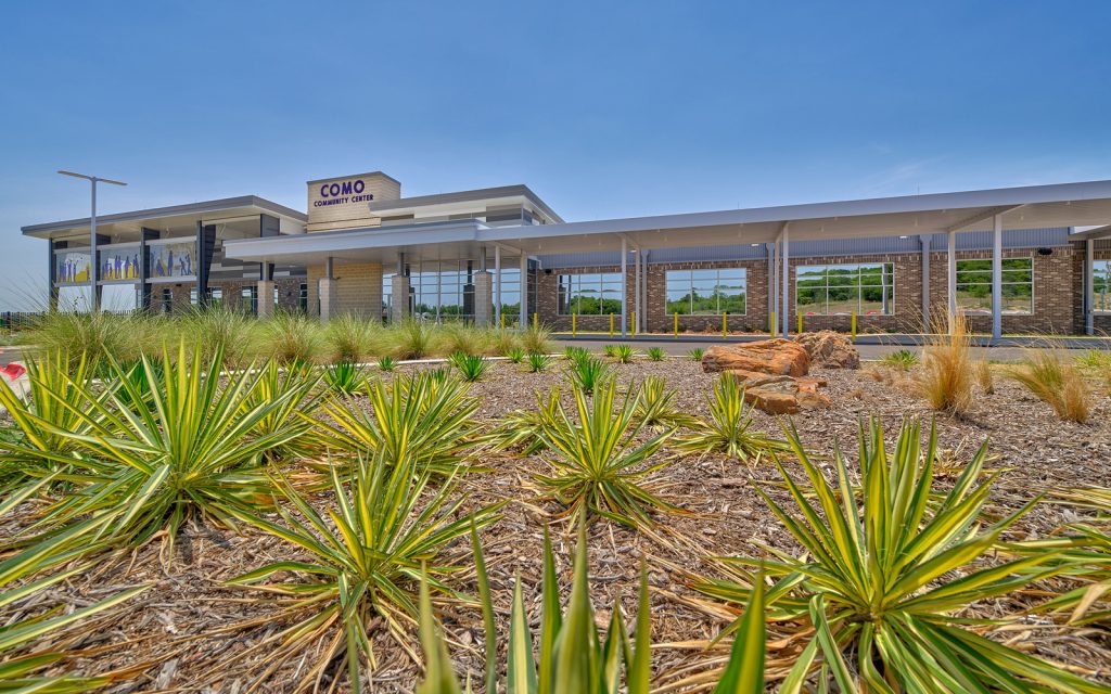
Como Community Center
Fort Worth, Texas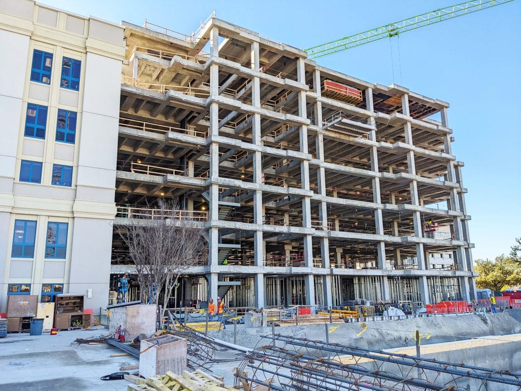
CCMC – Dodson Expansion
Fort Worth, Texas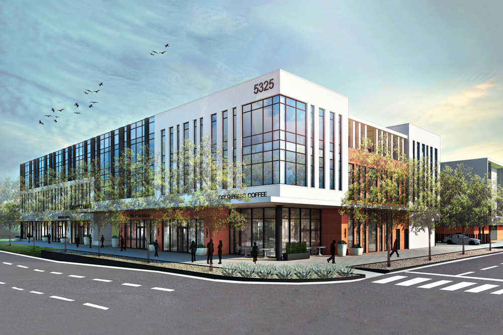
Travis Flats
Austin, Texas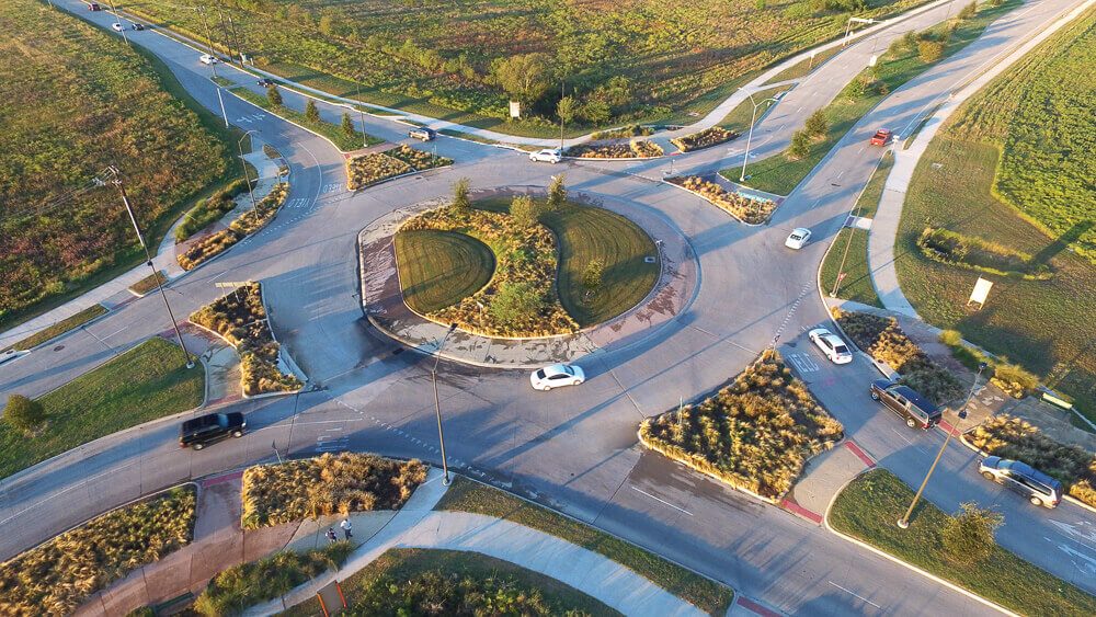
Summer Creek and McPherson Roundabout
Fort Worth, Texas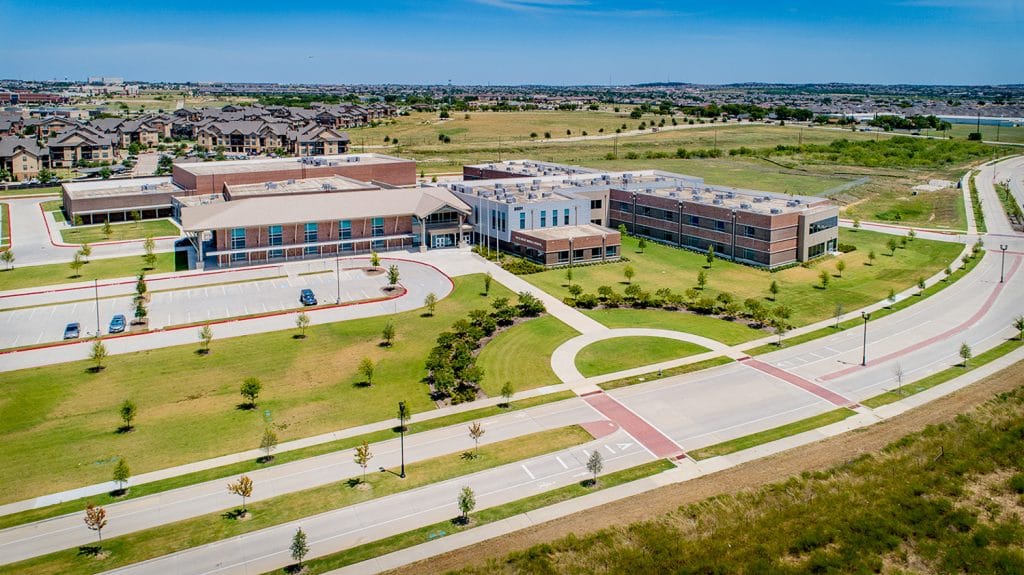
Vista Ridge Middle School
Fort Worth, Texas